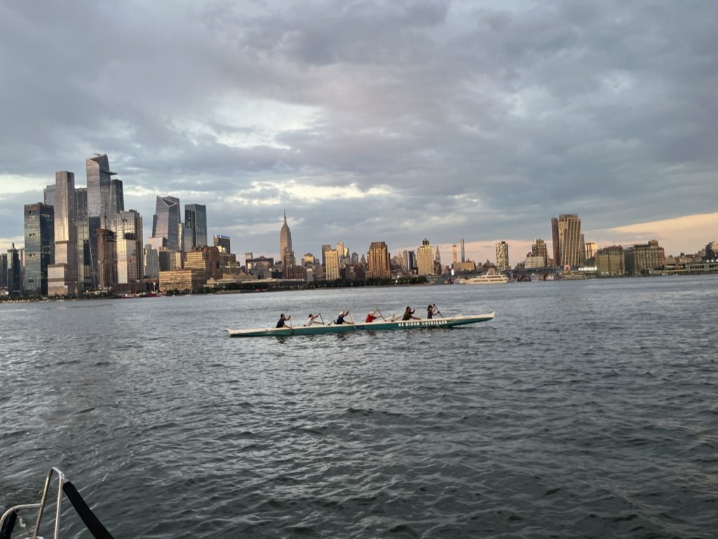
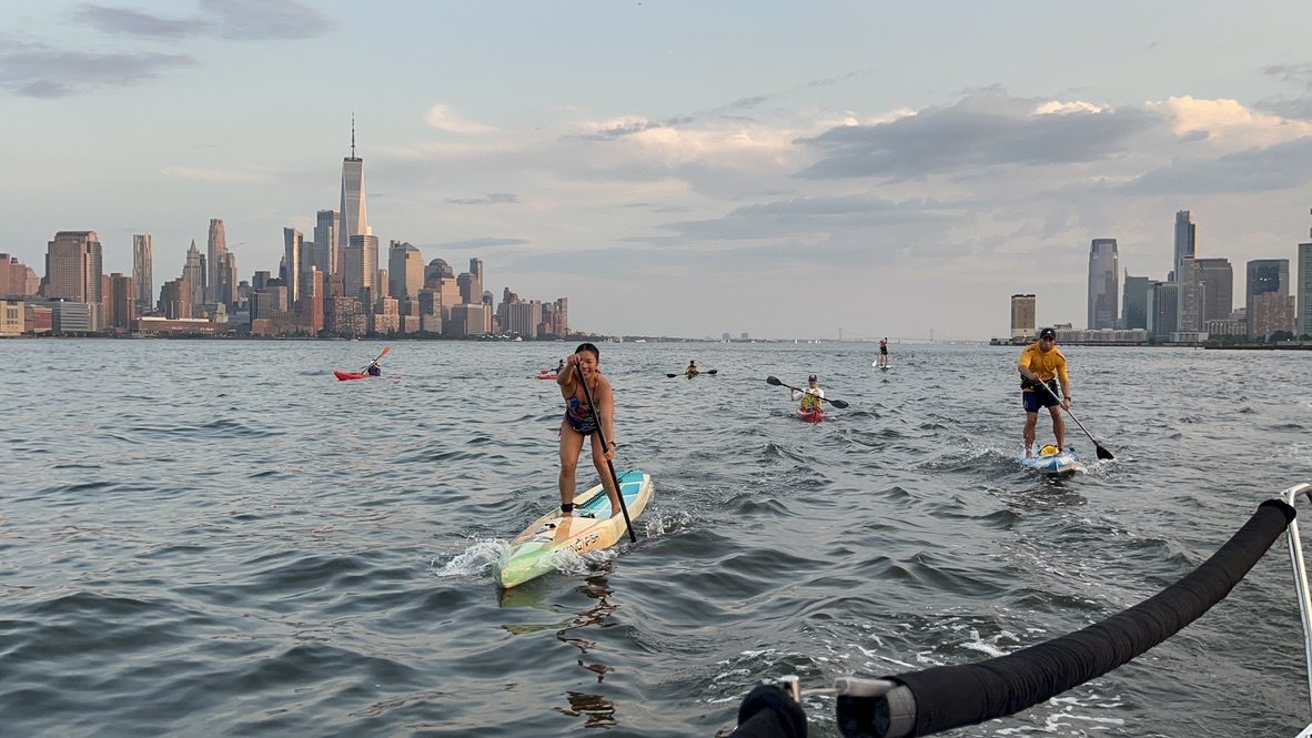
When the wind blows against the tide, the Hudson stands up into short, steep waves you can ride downwind.
Turn the wind, flip the tideDrag the compass to set where the wind comes from, and slide the current between ebb and flood. The map colours the whole river by modeled wave height, and the line from the marker shows the stretch of open water the wind blows across to reach a spot mid-river off Hoboken Cove.
Try this: it starts at 15 knots from 27 degrees against a flood. Slide the current to ebb and watch the chop drop, then turn the wind round to the south.
Colour is wave height at each spot for the wind and tide you set. Orange streaks are wind, blue streaks are the tidal current. Streak speed is for feel, not to scale.
Drag the dial to turn the wind. Ring colour shows the wave height each wind direction would give at the forecast spot. The orange marker is the forecast spot, a reference point in open water mid-river off Hoboken Cove, not a recommended launch site. Current directions are NOAA station NYH1928 (Pier 92). Estimates come from a simple fetch and current model, so check them against what you see on the water.
A teaching model, not a forecast. Wave heights come from a simple fetch and current model and have not been checked against logged sessions. Nothing here tells you whether to go out.
New to the tide and current? Start with the river.
Wind from about 27 degrees, north-northeast, lines up with the long open reach of river to our north. The longer wind blows over open water, called fetch, the bigger the waves get.
The tide then adds or takes away steepness. When wind and current oppose each other, waves get shorter and steeper than the same wind over still water.
Figures come from a model for a spot mid-river off Hoboken Cove, built from NOAA shoreline data. The windows are only a few degrees wide, the model has not yet been checked against logged sessions, and forecast wind direction is rarely this precise. They show where the most wave energy builds and say nothing certain about any given day.
Before any session, know what is in the river, especially after rain.